Please ensure Javascript is enabled for purposes of website accessibility
PO Box 541, 1000 W Mechanic St, Harrisonville, MO 64701

Service Areas

Service Areas

1

Bowers Land Survey Co. provides a variety of surveying services for the following counties and neighboring communities:
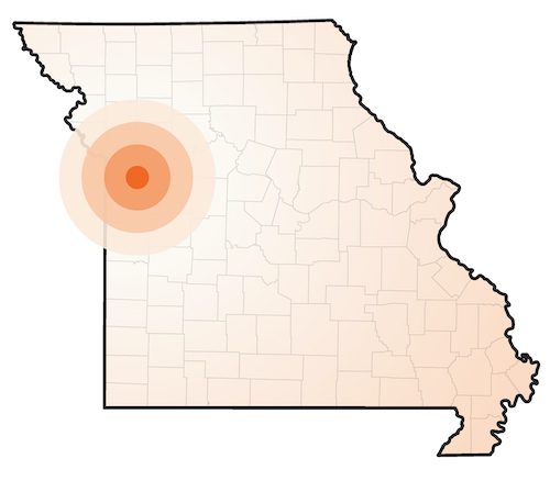
  • Cass County
  • Jackson County
  • Johnson County
  • Bates County
  • Vernon County
  • Henry County
Service Areas Missouri Map

Our Services

1
Boundary Surveys

Boundary Surveys

Professional determination of property boundary lines.

Topographical Surveys

Topographical Surveys

Topographic features of the site, used for design.

ALTA Land Title Surveys

ALTA Land Title Surveys

The most comprehensive boundary survey with improvement locations and easement review.

Subdivision Platting

Subdivision Platting

Similar to a boundary survey and is used to divide a parcel of land into smaller lots or tracts and will be recorded by the local government agency.

All Services

All Services

We offer all types of survey services to meet any need you might have.

Contact Us

Contact Us

Ready to get started? Or if you’re unsure what kind of survey you’re needing, let us know and we can talk you through the options.